
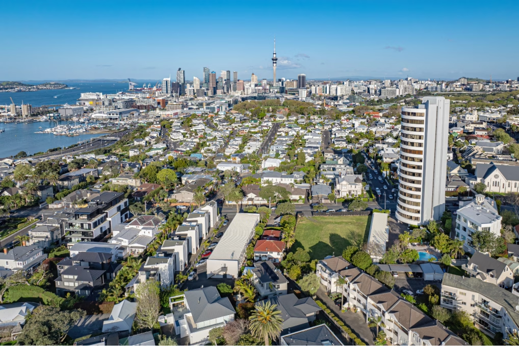
At 7.30 on a wet Tuesday you can walk from K-Road to Mt Eden in under fifteen minutes. By the end of next year, that same walk links you to a citywide rail spine, frequent buses, and jobs in every direction. That is the future Auckland Council is finally planning for: more homes where the network already works, fewer homes where water keeps sending warning letters.
Council is moving away from the old blanket three-storey settings and toward a map: lift heights and density around rapid transit and frequent buses, pull back from flood and coastal hazards, and keep overall capacity roughly stable but move it to places the city can service. For investors, that’s not theory. It’s a set of buy/hold/exit decisions with real money attached.
“Policy changes don’t move markets as much as stories and this plan change gets that,” says APIA GM, Sarina Gibbon. “The city’s story is being rewritten with proximity being the default aspiration and flood risk being the immediate discount. It’s salience over spreadsheets and capital where people can live a car-lite, stay dry and, in a way, defy gravity.”
From blanket to map
Blanket rules created options on paper, including in places that were never going to be easy to service or insure. The map approach concentrates permission where transport and pipes already exist. That doesn’t shrink opportunity; it focuses it. If you own or can buy within an 800–1200 m walk of a CRL station or in the ~200 m depth off a named frequent bus corridor, your next project just became more credible. If your site sits in a newly mapped hazard area, expect stricter activity statuses and a tougher audience from insurers and lenders. Price that in now.
Capacity isn’t feasibility
Models can show six storeys...